
Embracing Technology to Manage Our Transportation System
Smart Mobility exists at the intersection of technology and transportation. This program brings in new technologies and organizes data to better orchestrate city-wide traffic patterns to improve trip reliability and increase travel options. It also strives to provide individual travelers with information they need to take safer and more enjoyable trips. This can look like traffic signals that respond to real-time conditions, moving buses through their routes quicker, and understanding where pedestrians and cyclists are at a higher risk. Alexandria is committed to being a leader in this space so the City can take advantage of future transportation infrastructure advancements, such as self-driving cars and real-time traffic management. See the FY 2025 Smart Mobility Work Plan for more details.
Alexandria Named Winner in IDC Government Insights’ Seventh Annual Smart Cities North America Awards

Alexandria has been named a winner in IDC Government Insights’ seventh annual Smart Cities North America Awards (SCNAA). Alexandria was recognized for Smart Intersections in the Transportation category. The awards were designed to recognize the progress North American states and municipalities have made in executing Smart Cities projects, as well as provide a forum for sharing best practices to help accelerate Smart City development in the region. To learn more about this awards program, visit HERE .
Our Vision
All Smart Mobility Projects are driven by the team's Guiding Principles:
Safety • Mobility • Forward-Looking • Sustainability • Traffic Management • Transparency
Dive into the documents below to understand the ongoing Smart Mobility programs and how they fit into the broader transportation vision.
- Alexandria's Mobility Plan has been incorporated into the City's Master Plan by City Council, and includes a chapter on Smart Mobility
- The Smart Mobility Framework summarizes the many programs that fall under the Smart Mobility Program and how they tie together.
- The Community Presentation provides a high level overview of the Smart Mobility philosophy and work.
- Smart Mobility Pilot Projects shares details about active efforts to explore technology before scaling it.
Our Approach
Key Goals
- Improve safety
- Improve travel times and reliability
- Improve access to different transportation modes
- Improve air quality
Right Now
- Check out our ongoing Pilot Projects
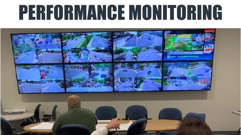
- Monitor and respond to City traffic conditions and collect data that is analyzed and used to better manage the City's transportation network
- Use Transit Signal Priority, which allows "smart buses" on area roadways stay on schedule
- Operate optimized traffic signals and quickly send data to the traffic management center, various City agencies, and regional transportation partners
- Use traffic cameras and pavement sensors to monitor road conditions
In the Next 5 Years
- Use a Fiber Optic Communications Network that will allow City agencies (T&ES, IT, Police, Fire, Schools) to share vital traffic and road conditions in real time
- Construct an Intelligent Command Center that shares information across City functions (i.e., emergency response, snow removal operations)
- Implement Adaptive Signal Control, which allows traffic signals to adjust to actual traffic demand and flow rather than variables that are less effective predictors of traffic patterns, such as time of day
In the Next 10 Years
- Use emergency vehicle preemption, so that ambulances, police cars and fire trucks can "talk" to traffic signals, giving them a clearer path when responding to emergencies
- Reduce emissions through decreases in vehicle idling and road traffic
- Offer better quality of life and less lost time due to smoother traffic flow and more efficient roadways
- Drastically reduce the frequency and severity of crashes due to better traffic management and design
In the Next 20 Years
- Accommodate self-driving vehicles and connected vehicles
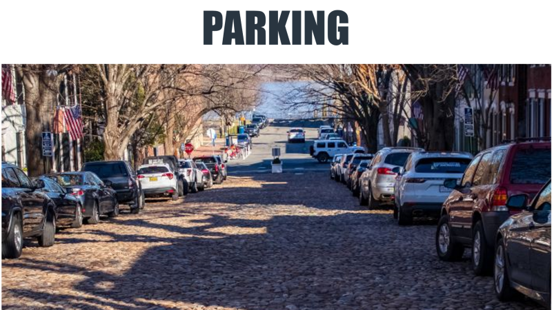
- Accommodate vehicle-to-infrastructure communications, which will help travelers find parking spaces, avoid traffic, and navigate hazardous road conditions
- Accommodate vehicle-to-vehicle communications, which will help travelers avoid crashes
Pillars of Our Smart Mobility Work (Click to Learn More)


News & Updates
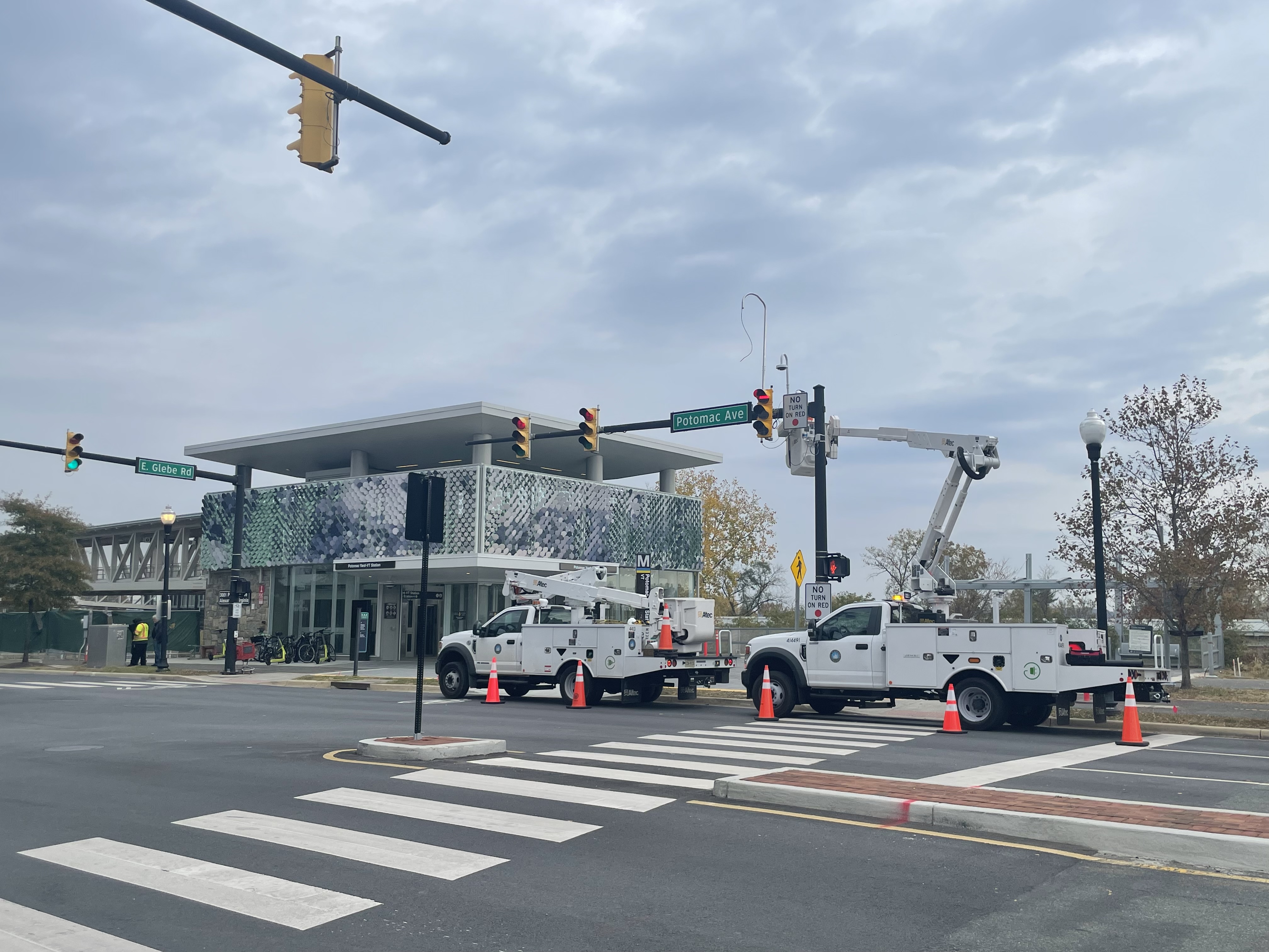
VTTI Pilot at Potomac Yard Metro Station: In collaboration with the Virginia Tech Transportation Institute (VTTI), Alexandria is studying the safety trends and traffic patterns at the corner of Potomac Avenue and E Glebe Road. This pilot has deployed five different devices at this intersection that detect near misses and turning movement counts. After one year, Alexandria will be able to compare the effectiveness of each device and quantify the safety and efficiency of the intersection.
Curb Data Specifications Pilot: Alexandria's curbs are a valuable and scarce resource. But it can be difficult to understand and communicate the intended use of a curb segment, and the resulting confusion hinders their use for everyone. This project will build a digital map of Alexandria's curb space that can be used to communicate curb regulation and measure how curbs are being used around the city.

The City of Alexandria, the Northern Virginia Transportation Authority (NVTA), and the Alexandria Transit Company (DASH) are proud to celebrate the completion of three Intelligent Transportation System projects located throughout Alexandria. Transit Signal Priority and Emergency Vehicle Pre-emption allows vehicles such as buses, fire trucks and other emergency vehicles to get through traffic signals quicker. The implementation of Transit Signal Priority systems along Duke Street, Route 1, and King Street will make bus travel an even more efficient and enjoyable transit option for all.