
Project Description
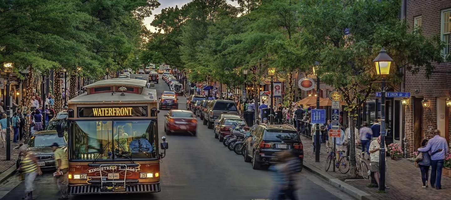
Alexandria's curbs are a valuable and scarce resource. They are used by businesses for stocking shelves, residents for receiving deliveries, restaurants for outdoor seating, travelers for rideshare pickups, drivers for electric charging, among many other diverse and important use cases.
But it can be difficult to understand the intended use of a curb segment, and the resulting confusion hinders each of these use cases. This project will build a digital map of Alexandria's curb space that can be used to communicate curb regulation and measure how curbs are being used around the city.
What is CDS?
CDS —“Curb Data Specification”—is a digital tool that helps cities and companies pilot and scale dynamic curb zones. CDS provides a mechanism for expressing how each curb is regulated, measuring activity at the curb, and developing policies that create more accessible, useful curbs. It was created by city leaders across the country partnering through the Open Mobility Foundation, the same group that helps Alexandria manage relationships with scooter and bikeshare providers. You can think of CDS as a common language that city governments can use to communicate curb rules to curb users, and to measure the use of curbspace.
Pilot Scope
Phase 1
This project will start by merging parking data from meters, garages, and payment systems across the city into a single source of truth for parking transactions. Staff will also convert existing parking maps into CDS format, laying the groundwork for future curbside innovation. CDS will allow Alexandria to better track and communicate where parking is available, which curbs are reserved for deliveries and loading zones, and the pricing and time restrictions of different areas.
Phase 2
This project will grow with real-time occupancy technology. This technology is not used for enforcement, but rather to understand how spaces are used and how they can be optimized for parking, loading, pickups, deliveries, and parklets. It can also be used to inform curb users where to find available spaces. Real-time occupancy is key to making safe and efficient complete streets, and helps pave the way for future connected and autonomous vehicles to fit into Alexandria's transportation system.